
Living in Ahuachapán, El Salvador
In shortAhuachapán is El Salvador's far west, on the Guatemalan border: cool coffee towns like Ataco and Apaneca on the Ruta de las Flores, the country's largest forest at El Imposible, and a quiet mangrove coast at Barra de Santiago. It suits coffee buyers and people who want cool mountain air, not a quick commute. Below: homes and land for sale in Ahuachapán, El Salvador, and what living there is like.
Quick facts
| Capital | Ahuachapán (127,301 people), in the municipality Ahuachapán Centro |
|---|---|
| Population | 348,880 (2024 census), 5.9% of the country |
| Area | About 1,240 km² (479 sq mi) |
| Municipalities | 3 since 2024, holding 12 districts |
| Altitude | From the Pacific at Barra de Santiago up to Ataco (1,260 m) and Apaneca (about 1,470 m) |
| Climate | Rains from May to October. Cool highlands (14 °C mornings in Apaneca in January); hot coast, about 28 °C on average |
| Borders | Guatemala to the west, the Pacific to the south |
| To San Salvador | About 2 to 2.5 hours to Apaneca |
Popular spots in Ahuachapán
Ruta de las Flores
The Ruta de las Flores is the mountain road between Sonsonate and Ahuachapán, linking five cool coffee towns: Nahuizalco, Salcoatitán and Juayúa in Sonsonate, and Apaneca and Concepción de Ataco in Ahuachapán.
Concepción de Ataco
Concepción de Ataco is a cool coffee town at 1,260 m on the Ruta de las Flores, known for its cobbled streets, murals, cafés and September lantern night.
Living in Ahuachapán
The Ruta de las Flores
The mountain road between Ahuachapán and Sonsonate runs through Ataco, Apaneca, Juayúa and Nahuizalco, known for crafts, food and coffee. Its 44 km were rebuilt in 2022.
A big main town
Ahuachapán city, with 127,301 people, is the 8th largest of the country's 262 districts. Its public hospital, the Hospital Nacional Francisco Menéndez, is the department's only national hospital.
Hot ground: the ausoles
The department has about 135 ausoles, steaming vents that also feed a geothermal power plant. They can explode without warning: the biggest one at Santa Teresa blew in July 2025, with no victims. A university geologist recommends no homes within 200 m of an ausol, so check before you buy near them.
Forest and coast
El Imposible National Park protects nearly 4,000 ha of forest with pumas and 285 bird species. On the coast, Barra de Santiago has a beach break, surf lessons and estuary boat tours with crocodiles.
Floods
In August 2025 the environment ministry rated Ahuachapán, Jujutla and San Francisco Menéndez at high risk of sudden river flooding. Check low-lying lots.
Still choosing where to live?
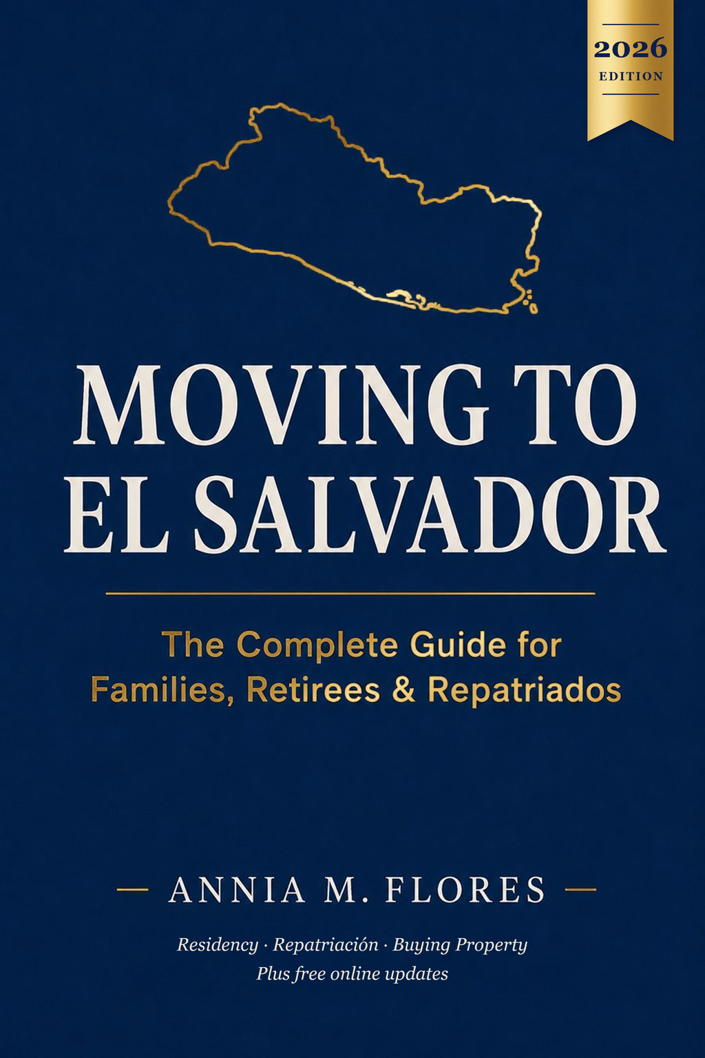
The book Moving to El Salvador has a free companion page for its chapter on choosing a region: official forecasts, climate data and regional links.
See the free region guide →Is it right for you?
Coffee or farmland buyer
Good fitIt's part of the Apaneca-Ilamatepec biosphere reserve, about 39,000 ha of it coffee.
Retiree
DependsThe highland towns stay cool, but there's one national hospital with a fraction of Santa Ana's budget.
Beach lover or surfer
DependsBarra de Santiago has a real beach break, but the coast is mostly estuary and mangrove.
Remote worker
DependsThe Ruta de las Flores towns have cafés and lodging; check internet at the exact address.
Family with kids
DependsAhuachapán city is large and has the hospital; the rest is small towns.
Commuter to San Salvador
Not idealEven Apaneca, on the near side, is 2 to 2.5 hours away.
Safety today
- The US State Department rates El Salvador Level 1, "Exercise normal precautions", its lowest level (issued June 25, 2026). US government staff are asked to avoid driving between cities at night because of road conditions.
- Homicides fell from 2,398 in 2019 to 82 in 2025, by the government's count. Some journalists and rights groups question how deaths are counted, so treat the exact number with care.
- A state of exception has been in force since March 2022 and is renewed every 30 days. It has brought about 91,000 arrests and criticism from rights groups.
Fun facts
- 1
Ahuachapán's geothermal plant started up in 1975, a pioneer in the region, running on the same underground heat that feeds the ausoles.
- 2
In Cantón El Barro, near the power plant, some ausoles steam right in people's yards. The one at Santa Teresa is about 70 m across and 20 m deep.
- 3
El Imposible got its name from a ravine coffee growers had to cross on tree trunks on their way to the port, where mules and people fell. A plaque on the 1968 bridge says the crossing "stopped being impossible".
- 4
El Imposible holds the largest remaining forest in El Salvador, according to the country's UNESCO tentative-list entry.
- 5
Cara Sucia, on the coast, was the farthest east the Cotzumalhuapa culture of Guatemala ever reached, around 600 to 900 AD.
- 6
Every September 7, Ataco lights its streets with lanterns for the Día de los Farolitos, a tradition more than 200 years old.
- 7
By law, the first Sunday of October is National Ruta de las Flores Day.
- 8
Apaneca's Laberinto de Albania is a maze made of more than 2,000 cypress trees.
Municipalities and districts since 2024
Since May 1, 2024, the old municipalities are districts inside larger municipalities. Older deeds use the old names.
Ahuachapán Centro
Ahuachapán, Tacuba, Concepción de Ataco, Apaneca
Ahuachapán Norte
Atiquizaya, San Lorenzo, Turín, El Refugio
Ahuachapán Sur
San Francisco Menéndez, Jujutla, Guaymango, San Pedro Puxtla
Frequently asked questions
Which municipality is my Ahuachapán land in now?
Since May 1, 2024, every old municipality is a district of Ahuachapán Norte, Centro or Sur. The full list is on this page; older deeds keep the old names.
Is it safe to build near the ausoles?
They can explode without warning, as one did in July 2025. University geologists recommend no homes within 200 m of an ausol.
Is Ahuachapán good for coffee land?
Yes. It's part of the Apaneca-Ilamatepec biosphere reserve, which holds about 39,000 ha of coffee.
How cold does it get in Apaneca and Ataco?
Cool-season mornings drop to about 14 °C in Apaneca, which sits around 1,470 m.
Does the coastal lowland flood?
In August 2025 the environment ministry rated Jujutla and San Francisco Menéndez at high risk of sudden river flooding. Check the specific lot.
Saw land measured in manzanas or varas?
Convert it to square meters, square feet or acres instantly.
Neighboring departments
Sources
Facts checked 2026-10-25.
- 1. UNESCO: El Imposible and Cara Sucia (tentative list)
- 2. Ramsar: Complejo Barra de Santiago
- 3. El Salvador Travel (MITUR): Ruta de las Flores
- 4. El Salvador Travel (MITUR): Concepción de Ataco
- 5. El Salvador Travel (MITUR): Apaneca
- 6. El Salvador Travel (MITUR): Barra de Santiago
- 7. El Salvador Travel (MITUR): Parque Nacional El Imposible
- 8. Ramsar / MARN: Los Cóbanos information sheet (coastal climate)
- 9. US State Department: El Salvador Travel Advisory (Level 1, June 25, 2026)
- 10. Diario El Mundo: Los 44 municipios y los 262 distritos
- 11. Diario El Mundo: Los departamentos más poblados según el censo 2024
- 12. City Population: El Salvador districts (2024 census)
- 13. Justia El Salvador: Departamento de Ahuachapán (area)
- 14. Diario El Mundo: Temperaturas mínimas (enero 2026)
- 15. El Diario de Hoy: Ruta a Apaneca
- 16. El Salvador in English: Ruta de las Flores road rebuilt (2022)
- 17. Diario El Mundo: Presupuesto de los hospitales públicos
- 18. ThinkGeoEnergy: 50 years of the Ahuachapán geothermal plant
- 19. El Diario de Hoy: Los ausoles de Ahuachapán
- 20. Diario El Mundo: Qué causó la explosión del ausol (UES)
- 21. Diario El Mundo: Alta probabilidad de inundaciones en el occidente (agosto 2025)
- 22. El Diario de Hoy: El Imposible, 4 mil hectáreas de bosque
- 23. El Diario de Hoy: Café en la reserva de biosfera Apaneca-Ilamatepec
- 24. El Diario de Hoy: Laguna Las Ninfas y el Laberinto de Albania
- 25. Diario El Mundo: Seguridad oficializa 82 homicidios durante el 2025
- 26. AFP via New Straits Times: El Salvador's homicide rate dips (January 2026)
- 27. El Diario de Hoy: 55th extension of the state of exception (September 2026)