
Living in Chalatenango, El Salvador
In shortChalatenango is El Salvador's mountain north, on the Honduran border: pine forests around La Palma and San Ignacio, the country's highest point, and the huge Cerrón Grande lake to the south. It suits people who want cool weather and farmland, not a beach or a quick commute. Below: homes and land for sale in Chalatenango, El Salvador, and what living there is like.
Quick facts
| Capital | Chalatenango (30,679 people), in the municipality Chalatenango Sur |
|---|---|
| Population | 185,930 (2024 census), 3.1% of the country |
| Area | About 2,017 km² (779 sq mi) |
| Municipalities | 3 since 2024, holding 33 districts |
| Highest point | Cerro El Pital, 2,730 m (8,957 ft), El Salvador's highest point, on the Honduran border |
| Climate | Rains from May to October. Hot in the lowlands (over 39 °C in Nueva Concepción); mountain mornings near 10 °C in December |
| Borders | Honduras to the north |
| To San Salvador | About 2.5 hours to San Ignacio; El Pital is 102 km away |
Living in Chalatenango
Small towns
Only Chalatenango city (30,679) and Nueva Concepción (27,209) have more than 15,000 people. Most districts in the south have fewer than 5,000.
The cool highlands
La Palma is the gateway to El Pital and Miramundo, with pine forest, craft workshops and coffee farms that give tours. In Las Pilas, growers use greenhouses for onions, strawberries and potatoes, and frost is part of life.
Cerrón Grande
The reservoir in the south is the country's largest body of fresh water and a protected Ramsar wetland since 2005, with the country's biggest duck populations. Pollution and water hyacinth are its main problems.
Roads and landslides
The Troncal del Norte runs from San Salvador to San Ignacio, near the Honduran border, and the Longitudinal del Norte crosses the department east to west. In October 2025 the environment ministry put several of these roads under a high landslide alert, so look closely at slopes and access.
Hospitals
There are two public hospitals: one in Chalatenango city and one in Nueva Concepción. Specialist care means a trip to San Salvador.
Family abroad
42.5% of households receive remittances, and in January 2026 the average remittance here, $505.50, was the highest of any department.
Still choosing where to live?
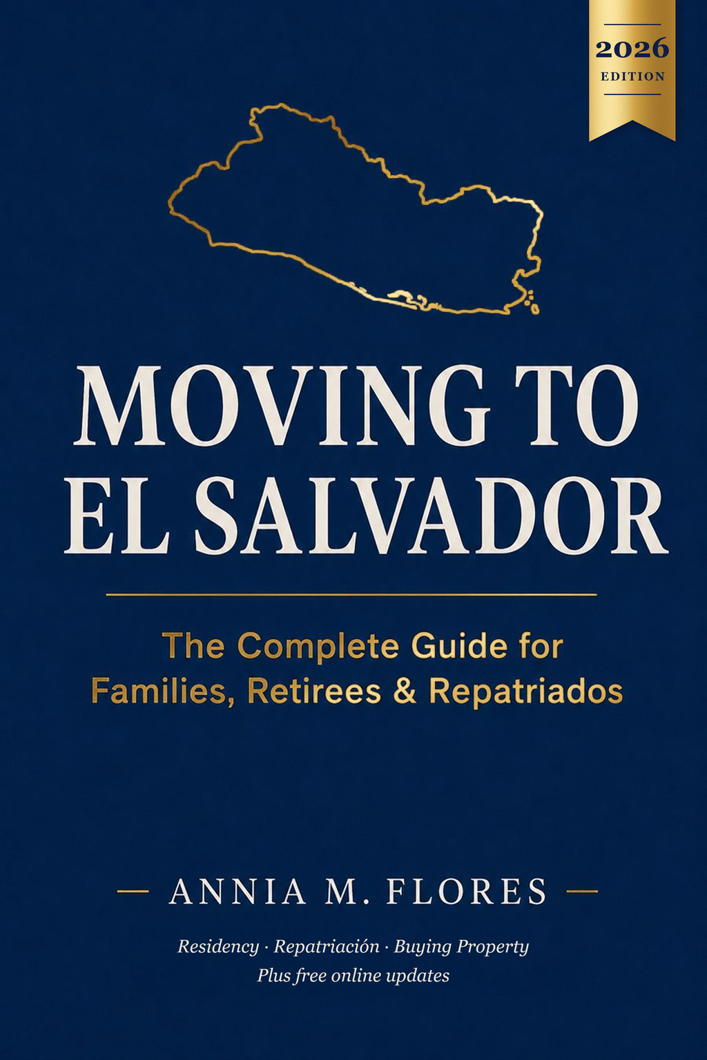
The book Moving to El Salvador has a free companion page for its chapter on choosing a region: official forecasts, climate data and regional links.
See the free region guide →Is it right for you?
Farmland or coffee buyer
Good fitHighland coffee and cold-climate vegetables grow here; check the slope and road access.
Retiree
DependsCool mountain mornings, but anything beyond the two public hospitals means driving to San Salvador.
Remote worker
DependsMountain towns like La Palma have tourism services; check internet at the exact address.
Family with kids
DependsThe two biggest towns have the hospitals and most services; the rest is rural.
Beach lover
Not idealIt's a mountain department on the Honduran border; the beaches are on the other side of the country.
Commuter to San Salvador
Not idealSan Ignacio is about 2.5 hours away; the southern edge near Cerrón Grande is closer.
Safety today
- The US State Department rates El Salvador Level 1, "Exercise normal precautions", its lowest level (issued June 25, 2026). US government staff are asked to avoid driving between cities at night because of road conditions.
- Homicides fell from 2,398 in 2019 to 82 in 2025, by the government's count. Some journalists and rights groups question how deaths are counted, so treat the exact number with care.
- A state of exception has been in force since March 2022 and is renewed every 30 days. It has brought about 91,000 arrests and criticism from rights groups.
Fun facts
- 1
San Isidro Labrador, with 586 people, is the smallest of all 262 districts in El Salvador.
- 2
Building the Cerrón Grande dam in the 1970s flooded about 135 km² of the El Paraíso valley. The rescue dig before the water came was the largest archaeology project ever done in El Salvador, and a Postclassic town now lies where the lake rises and falls every year.
- 3
The highway to Chalatenango city exists because of the dam: it was built when the valley's old roads were about to go underwater.
- 4
The first round of peace talks between the government and the FMLN guerrillas was held in La Palma on October 15, 1984.
- 5
La Palma's famous painted style started with a single copinol seed painted by Fernando Llort, who moved there in 1972. The cooperative his family founded, La Semilla de Dios, still exists.
- 6
In its 1992 border ruling, the International Court of Justice gave the Cayaguanca mountain to Honduras. Today the Peñón de Cayaguanca above San Ignacio is a short hike with views into Honduras.
- 7
Las Pilas, in San Ignacio, is usually the coldest spot in the country: 9.5 °C on December 28, 2025.
- 8
In 1987, more than 7,000 refugees returned from a camp in Honduras and repopulated towns like Guarjila in the middle of the war, one of the largest refugee returns in Latin American history.
Municipalities and districts since 2024
Since May 1, 2024, the old municipalities are districts inside larger municipalities. Older deeds use the old names.
Chalatenango Norte
La Palma, San Ignacio, Citalá
Chalatenango Centro
Nueva Concepción, Tejutla, El Paraíso, La Reina, Agua Caliente, Dulce Nombre de María, Santa Rita, San Rafael, San Francisco Morazán, San Fernando
Chalatenango Sur
Chalatenango, Concepción Quezaltepeque, Comalapa, Nombre de Jesús, La Laguna, Ojos de Agua, San Miguel de Mercedes, Arcatao, El Carrizal, San José Cancasque, Potonico, San Antonio de la Cruz, Nueva Trinidad, Las Vueltas, San José Las Flores, Azacualpa, San Luis del Carmen, San Antonio Los Ranchos, San Francisco Lempa, San Isidro Labrador
Frequently asked questions
Which municipality is my Chalatenango land in now?
Since May 1, 2024, every old municipality is a district of Chalatenango Norte, Centro or Sur. The full list is on this page; older deeds keep the old names.
How cold does it get in La Palma and San Ignacio?
Cool-season mornings run about 10 to 15 °C, and colder at Las Pilas, which hit 9.5 °C in December 2025.
How far is Chalatenango from San Salvador?
About 2.5 hours by road to San Ignacio, and 102 km to El Pital, using the Troncal del Norte.
Is mountain land at risk of landslides?
The environment ministry regularly includes northern Chalatenango roads in its high landslide alerts. Check the specific lot, its slope and its access road.
Where is El Salvador's highest point?
Cerro El Pital, 2,730 m, in Chalatenango on the Honduran border. The road up from Río Chiquito is steep and unpaved, so a 4x4 is recommended.
Saw land measured in manzanas or varas?
Convert it to square meters, square feet or acres instantly.
Neighboring departments
Santa Ana · La Libertad · San Salvador · Cuscatlán · Cabañas
Sources
Facts checked 2026-10-25.
- 1. Ramsar: Embalse Cerrón Grande
- 2. International Court of Justice: Land, Island and Maritime Frontier Dispute (1992)
- 3. Corte Suprema de Justicia: El proceso de diálogo y negociación (boletín)
- 4. El Salvador Travel (MITUR): La Palma
- 5. US State Department: El Salvador Travel Advisory (Level 1, June 25, 2026)
- 6. Diario El Mundo: Los 44 municipios y los 262 distritos de El Salvador
- 7. Diario El Mundo: Los departamentos más poblados según el censo 2024
- 8. City Population: El Salvador districts (2024 census)
- 9. Justia El Salvador: Departamento de Chalatenango (area)
- 10. WWF: Cerro El Pital
- 11. El Diario de Hoy: Subir a El Pital
- 12. Diario El Mundo: 9.5 °C en Las Pilas (diciembre 2025)
- 13. Diario El Mundo: La Palma rompe récord de calor en mayo
- 14. El Diario de Hoy: San Ignacio y el Peñón de Cayaguanca
- 15. Diario El Mundo: Invernaderos en Las Pilas
- 16. El Diario de Hoy: Turismo de café en La Palma
- 17. El Diario de Hoy: Mantenimiento del puente Nuevo Edén (Longitudinal del Norte)
- 18. Diario El Mundo: Amenaza alta de deslizamientos en Chalatenango
- 19. Diario El Mundo: Presupuesto de los hospitales públicos
- 20. Diario El Mundo: Hogares dependientes de remesas
- 21. Diario El Mundo: Remesa promedio en Chalatenango supera los $500
- 22. Diario El Mundo: El distrito con menos población
- 23. Martínez & Arévalo 2008: Arqueología del Cerrón Grande (Mesoweb)
- 24. Revista E&N: Fernando Llort y la semilla de copinol
- 25. CSUN: Refuge and Return (Mesa Grande repatriation)
- 26. Diario El Mundo: Seguridad oficializa 82 homicidios durante el 2025
- 27. AFP via New Straits Times: El Salvador's homicide rate dips (January 2026)
- 28. El Diario de Hoy: 55th extension of the state of exception (September 2026)