
Living in Santa Ana, El Salvador
In shortSanta Ana is El Salvador's west-side hub: the country's second-largest city, Lake Coatepeque, the Santa Ana volcano, and Maya ruins at Chalchuapa, stretching north to the dry Metapán hills and the Montecristo cloud forest. It suits families and retirees who want a real city with hospitals, plus lakes and mountains nearby. Below: homes and land for sale in Santa Ana, El Salvador, and what living there is like.
Quick facts
| Capital | Santa Ana (250,760 people), the second-largest district in the country |
|---|---|
| Population | 552,938 (2024 census), 9.3% of the country |
| Area | About 2,023 km² (781 sq mi) |
| Municipalities | 4 since 2024, holding 13 districts |
| Altitude | From Lake Güija (about 430 m) up to Montecristo (over 2,400 m) and the Santa Ana volcano (2,381 m), the country's highest volcano |
| Climate | Rains from May to October. The Metapán-Güija area is the driest in the country; the highlands can drop to 3.5 °C (February 2026) |
| Borders | Guatemala and Honduras; no coast |
Popular spots in Santa Ana
Living in Santa Ana
A real second city
Santa Ana has a large historic downtown around Parque Libertad, a cathedral declared national heritage in 1995 and a theater opened in 1910. Almost 34,000 residents speak a second language, about 9 in 10 of them English.
Hospitals
The Hospital Nacional San Juan de Dios, with by far the biggest budget in the west, opened a new $7.3 million adult and children's emergency area in March 2025. There are also national hospitals in Metapán and Chalchuapa.
Lake Coatepeque
A volcanic lake of about 25 km², around 115 m deep, at 740 m. It's a protected area since 2023 (no direct discharges, no fireworks), and during algae blooms, like in March 2024, the environment ministry advises against swimming.
Volcano and floods
The Santa Ana volcano last erupted in 2005, its first eruption since 1904; a swarm of quakes in 2023 and 2024 caused no change at the summit. In August 2025 the environment ministry rated Santa Ana, Candelaria de la Frontera and Coatepeque at high risk of sudden river flooding.
The dry north
Around Metapán and Lake Güija, rain is scarce and the lake is the main water source for about 7,300 shoreline residents. Montecristo's cloud forest closes its summit from May to October for the wildlife breeding season.
Still choosing where to live?
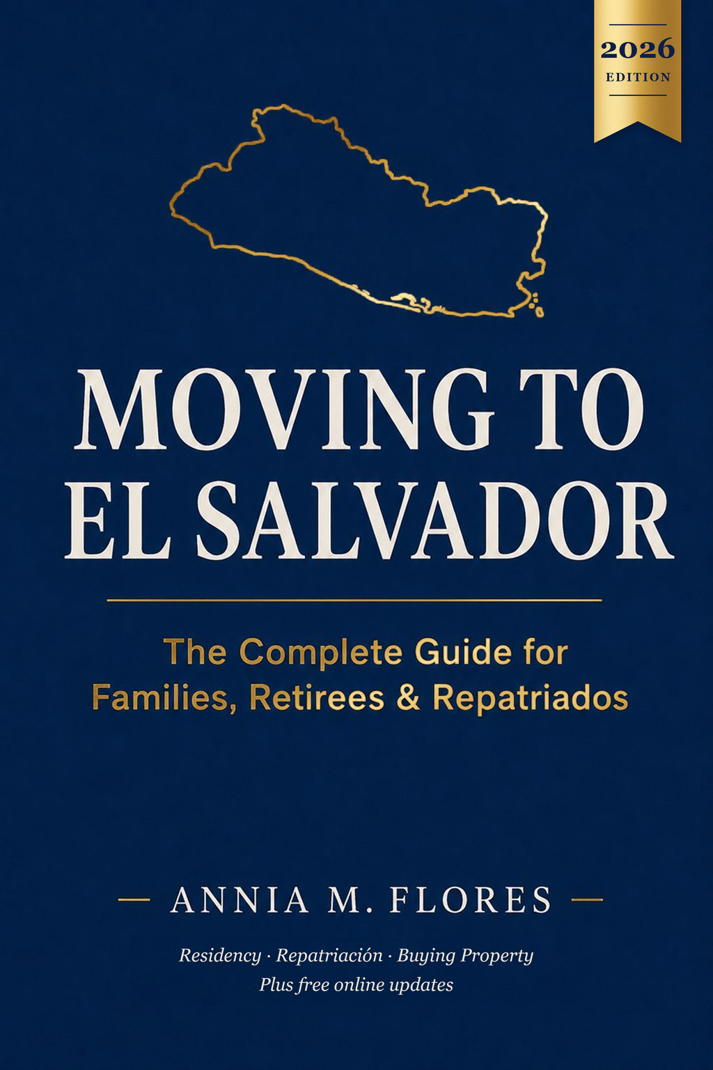
The book Moving to El Salvador has a free companion page for its chapter on choosing a region: official forecasts, climate data and regional links.
See the free region guide →Is it right for you?
Family with kids
Good fitThe country's second-largest city, with a new children's emergency area at its main hospital.
Retiree
Good fitThe west's biggest hospital plus two more national hospitals, and a large English-speaking community.
Coffee or farmland buyer
DependsThe volcano slopes are coffee country, but the north around Metapán is the driest zone in the country.
Remote worker
DependsA big city with services; check internet at the exact address.
Commuter to San Salvador
DependsSanta Ana city is a long daily drive from the capital, and outlying towns like Chalchuapa are about 80 km away.
Beach lover
Not idealIt has no coast; the water here is Lake Coatepeque and Lake Güija.
Safety today
- The US State Department rates El Salvador Level 1, "Exercise normal precautions", its lowest level (issued June 25, 2026). US government staff are asked to avoid driving between cities at night because of road conditions.
- Homicides fell from 2,398 in 2019 to 82 in 2025, by the government's count. Some journalists and rights groups question how deaths are counted, so treat the exact number with care.
- A state of exception has been in force since March 2022 and is renewed every 30 days. It has brought about 91,000 arrests and criticism from rights groups.
- Roads are a real risk: the department had 1,091 traffic accidents and 69 deaths from January to mid-July 2025.
Fun facts
- 1
Chalchuapa has at least 3,200 years of continuous human settlement, and its two Olmec sculptures are the southernmost ever found in Mesoamerica.
- 2
Guatemala's president Justo Rufino Barrios was killed in battle at Chalchuapa in April 1885, while invading El Salvador to force a Central American union.
- 3
Chalchuapa protects pyramids from three eras: El Trapiche and Casa Blanca (400 BC to 200 AD) and Tazumal (200 to 1200 AD). Entry to Tazumal is $1 for Salvadorans.
- 4
On Holy Monday in Texistepeque, the Talcigüines, men dressed in red with leather whips, "punish" onlookers for their sins until a villager playing Jesus defeats them. The tradition goes back to the 1850s.
- 5
An archaeologist catalogued 225 carved boulders ringing a peninsula in Lake Güija, and more than 20 sites around the lake have never been properly excavated.
- 6
Montecristo was El Salvador's first protected natural area, and its summit is the point where El Salvador, Honduras and Guatemala meet.
- 7
Lake Coatepeque has turned turquoise several times since 1998. University researchers link it to minerals in the water; the environment ministry has blamed algae blooms.
- 8
The Santa Ana volcano has four craters nested one inside another at its summit.
Municipalities and districts since 2024
Since May 1, 2024, the old municipalities are districts inside larger municipalities. Older deeds use the old names.
Santa Ana Centro
Santa Ana
Santa Ana Oeste
Chalchuapa, San Sebastián Salitrillo, Candelaria de la Frontera, El Porvenir, Santiago de la Frontera, San Antonio Pajonal
Santa Ana Norte
Metapán, Texistepeque, Santa Rosa Guachipilín, Masahuat
Santa Ana Este
Coatepeque, El Congo
Frequently asked questions
Which municipality is my Santa Ana land in now?
One of Santa Ana Norte, Centro, Este or Oeste. Santa Ana city alone makes up Santa Ana Centro. The full list is on this page; older deeds keep the old names.
Is the Santa Ana volcano still active?
Yes. It last erupted in 2005, and a 2023-24 swarm included two quakes above magnitude 4 without changes at the summit.
Can you swim in Lake Coatepeque?
Usually, but the environment ministry advises against going under during algae blooms, as in March 2024.
Is the north around Metapán dry?
Yes. The Lake Güija area gets about 1,226 mm of rain a year, the driest in the country.
Is there a good hospital in Santa Ana?
The Hospital Nacional San Juan de Dios is the west's largest public hospital and opened a new emergency area in 2025. Metapán and Chalchuapa have national hospitals too.
Saw land measured in manzanas or varas?
Convert it to square meters, square feet or acres instantly.
Neighboring departments
Sources
Facts checked 2026-10-25.
- 1. UNESCO: Chalchuapa (tentative list)
- 2. UNESCO: Lake Güija archaeological sites (tentative list)
- 3. Ramsar / MARN: Laguna de Güija information sheet
- 4. El Salvador Travel (MITUR): Santa Ana
- 5. El Salvador Travel (MITUR): Parque Nacional Montecristo
- 6. El Salvador Travel (MITUR): Lago de Coatepeque
- 7. NASA Earth Observatory: Eruption of Santa Ana (Ilamatepec) volcano
- 8. US State Department: El Salvador Travel Advisory (Level 1, June 25, 2026)
- 9. Diario El Mundo: Los 44 municipios y los 262 distritos
- 10. Diario El Mundo: Los departamentos más poblados según el censo 2024
- 11. City Population: El Salvador districts (2024 census)
- 12. El Diario de Hoy: Santa Ana en cifras (censo 2024)
- 13. El Diario de Hoy: El volcán de Santa Ana
- 14. El Diario de Hoy: Montecristo
- 15. Diario El Mundo: 3.5 °C en Finca Los Andes (febrero 2026)
- 16. El Salvador in English: New emergency room at San Juan de Dios (2025)
- 17. Diario El Mundo: Presupuesto de los hospitales públicos
- 18. Diario El Mundo: Alerta en el lago de Coatepeque por algas (2024)
- 19. University of Memphis: Santa Ana seismic swarm 2023-24
- 20. Diario El Mundo: Alta probabilidad de inundaciones en el occidente (agosto 2025)
- 21. El Diario de Hoy: Qué hacer en Chalchuapa
- 22. Biografías y Vidas: Justo Rufino Barrios
- 23. Diario El Mundo: Tradiciones del Lunes Santo (Talcigüines)
- 24. FAMSI: Petroglyphs of Lake Güija (Andrea Stone)
- 25. El Diario de Hoy: El color del lago de Coatepeque (UES)
- 26. EarthChem (Smithsonian GVP): Santa Ana volcano
- 27. Diario El Mundo: Seguridad oficializa 82 homicidios durante el 2025
- 28. AFP via New Straits Times: El Salvador's homicide rate dips (January 2026)
- 29. El Diario de Hoy: 55th extension of the state of exception (September 2026)